Yosemite April 4, 2004
The trail to this point was abandoned about 40 years ago and in places has been obliterated by rock fall but is easily found with some careful route finding. Leave the Vernal Falls Trail about 800 feet above the gauging station and about 15 feet before an interpretive sign that says “Rock Piles”. Trend slightly left up into large talus for several hundred feet until the trail can be picked up. The faint trail switchbacks up steeply for about 800 feet of elevation gain and over some loose, steep sections until traversing right for several hundred feet to the point. This is a great place to view the blast zone from the Glacier Point rock fall of 1996 that generated winds over 120 mph and flattened trees for several hundred yards. It is also where Ansel Adams took his first pictures of Yosemite Valley in 1916 at age 14. Early Spring finds cascades, both large and small, in full flood, the canyons reverberating with the sound of falling water.
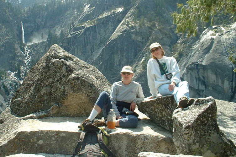
From left to right; Illilouette Falls, Martha, Robin.
Perfect early spring weather.
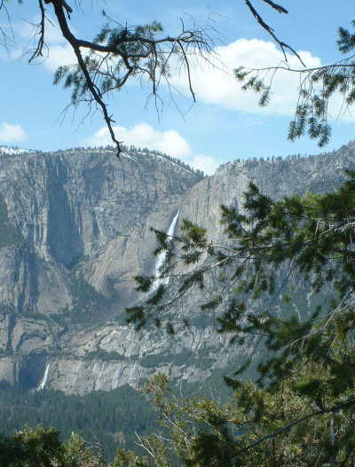
Looking northwest to Yosemite Falls. This is probably the only point in the valley where 5 of the six major falls can be seen at once. Only Bridalveil is obscured.
I have no idea why I didn’t move a foot to the left to get the branch out of the way of the falls. I was probably swooning over the loveliness of it all and didn’t notice. ‘Sorry.
Front to back; Martha, Robin, Vernal Falls, Nevada Falls, Little Yosemite Valley
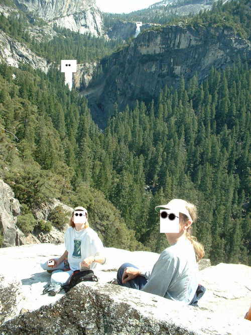
One of the elements complained about their mug shot hence the courtesy masking.
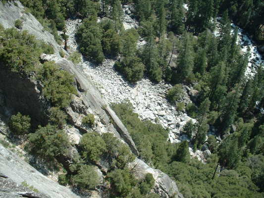
Looking down to the Vernal Falls Trail.
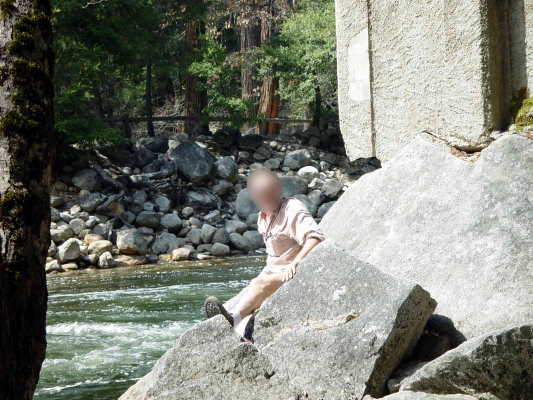
This is a photo of some nitwit (rob) who was climbing around on the old bridge when he pulled a chunk of concrete off which hit him on the head and almost knocked him on his ass in the river. He seemed to think it was funny.